Log in
All resources
Create a design
33,112 Free Images of Lithographed Maps
charts and maps of the royal museums greenwich
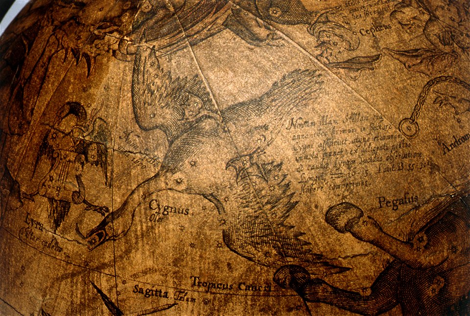
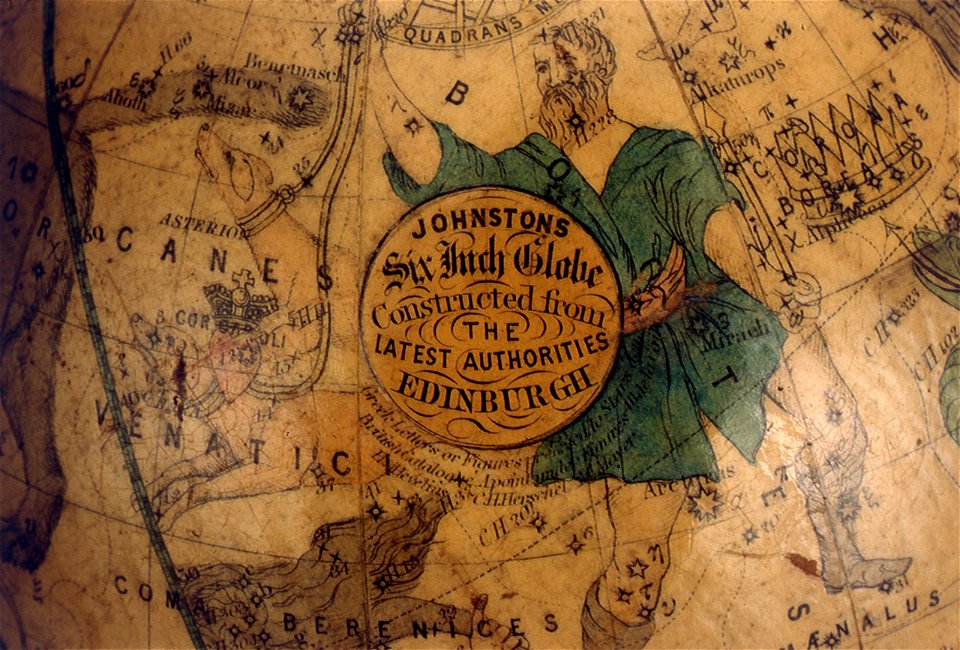
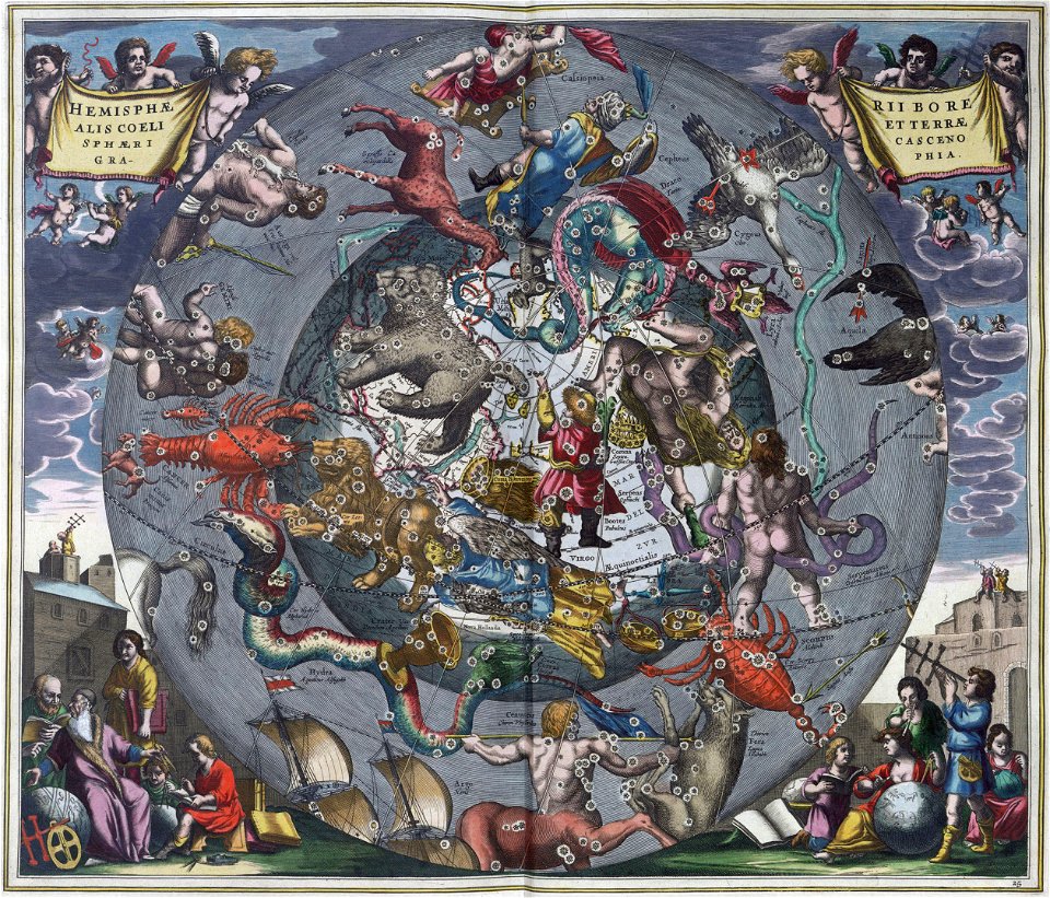
astronomical maps
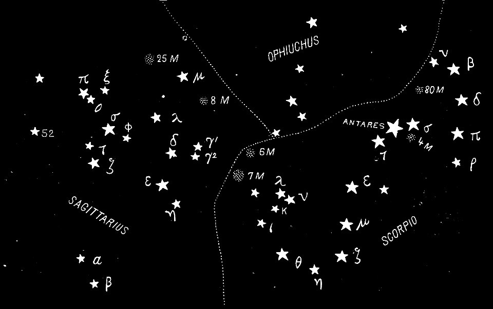
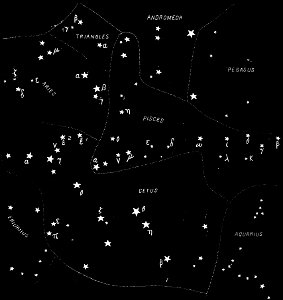
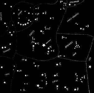
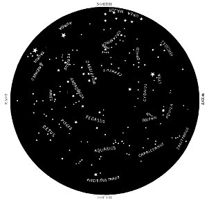
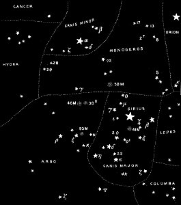
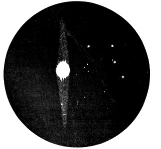
popular science monthly illustrations/volume 32
description des principales villes (1690)
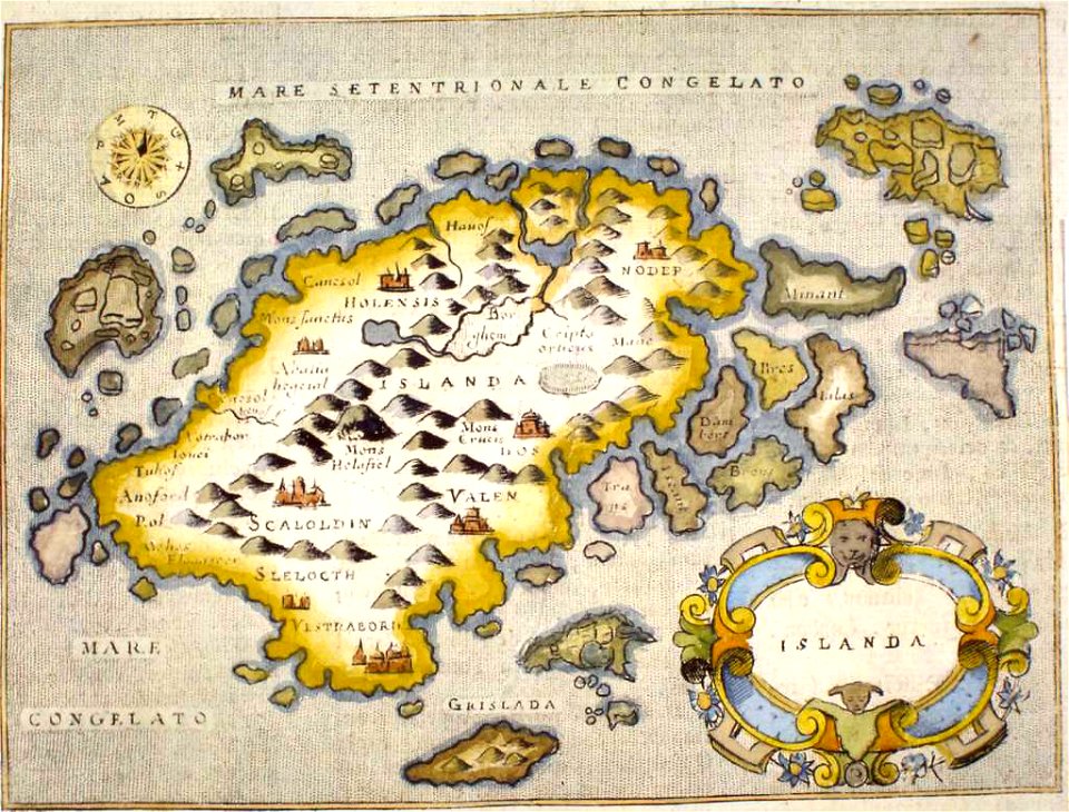
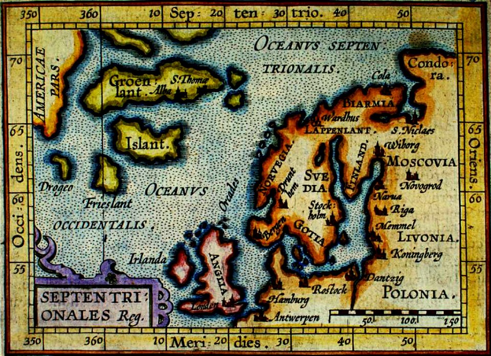
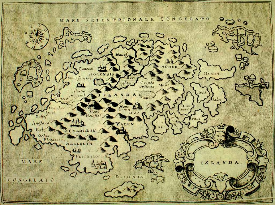
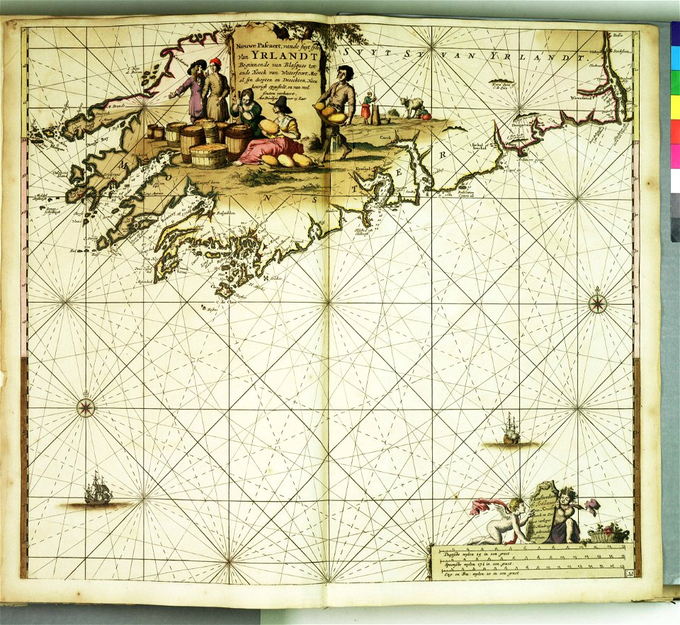
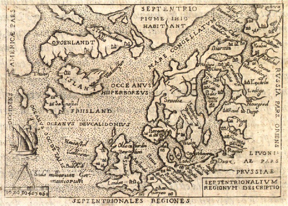
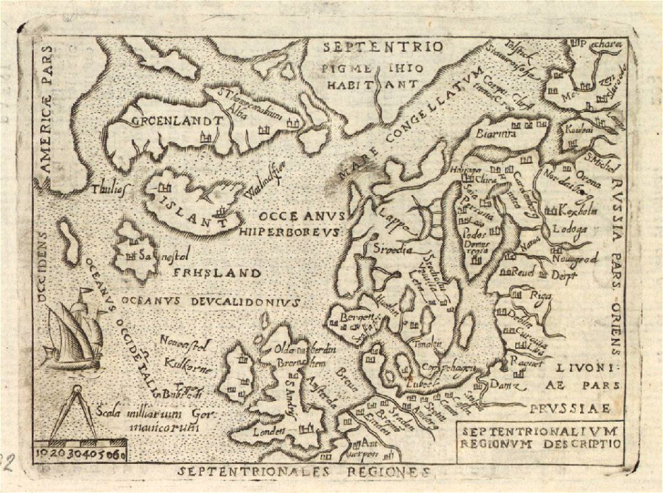
old maps of iceland
provided by landsbókasafn íslands
popular science monthly illustrations/volume 31
historical images of minsk
old maps of minsk
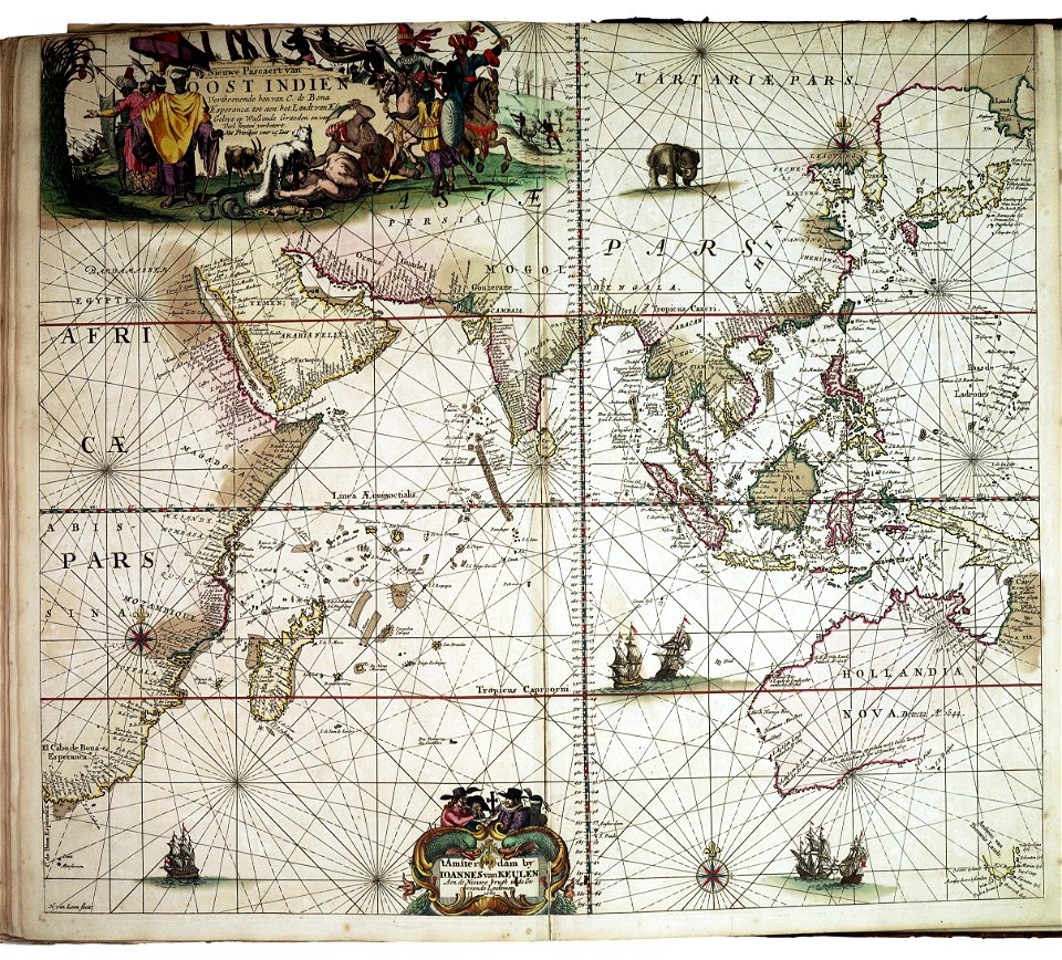
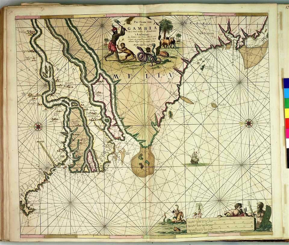
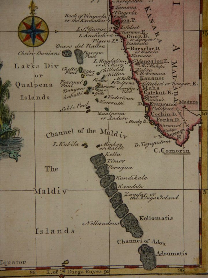
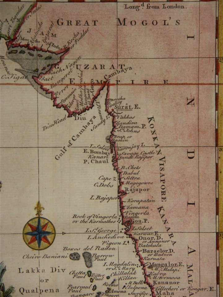
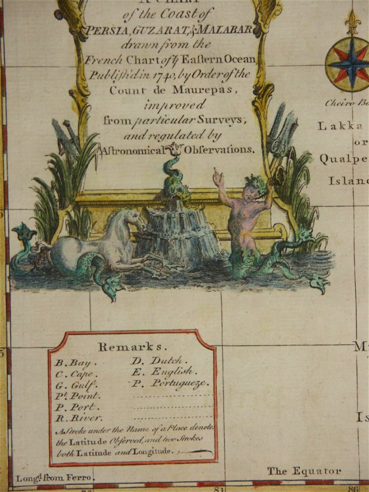
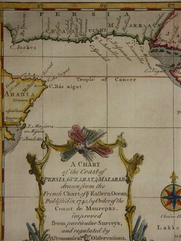
18th-century maps of india
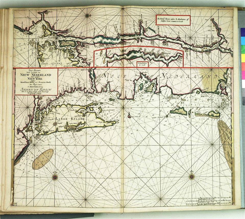
charts and maps of the royal museums greenwich
charts and maps of the royal museums greenwich
charts and maps of the royal museums greenwich
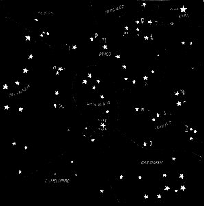
northern hemisphere
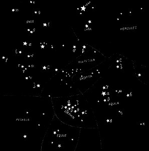
maps with figures
northern hemisphere
maps with figures
charts and maps of the royal museums greenwich
charts and maps of the royal museums greenwich
charts and maps of the royal museums greenwich
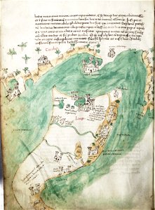
maps by royal bavarian land tax commission
kager
description des principales villes (1690)
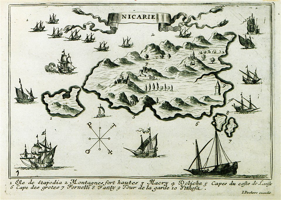
maps of icaria
historical images of minsk
old maps of minsk
historical images of minsk
old maps of minsk
historical images of minsk
old maps of minsk
historical images of minsk
old maps of minsk
historical images of minsk
old maps of minsk
description des principales villes (1690)
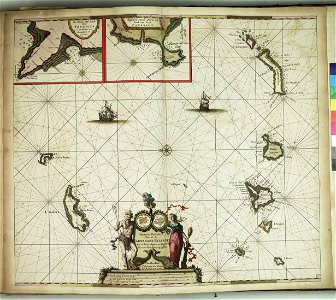
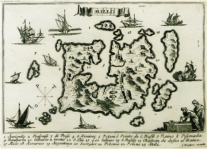
maps of milos
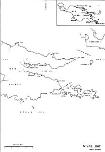
old maps of papua new guinea
milne bay
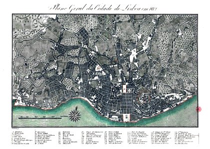
19th-century maps of lisbon
1812 in portugal
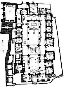
maps of the wawel cathedral
walery eljasz-radzikowski
history of belém (pará)
maps of belém (pará)
voyage pittoresque de la grèce
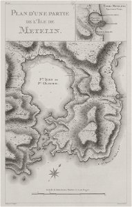
maps of lesbos
charts and maps of the royal museums greenwich
provided by landsbókasafn íslands
old maps of iceland
provided by landsbókasafn íslands
old maps of iceland
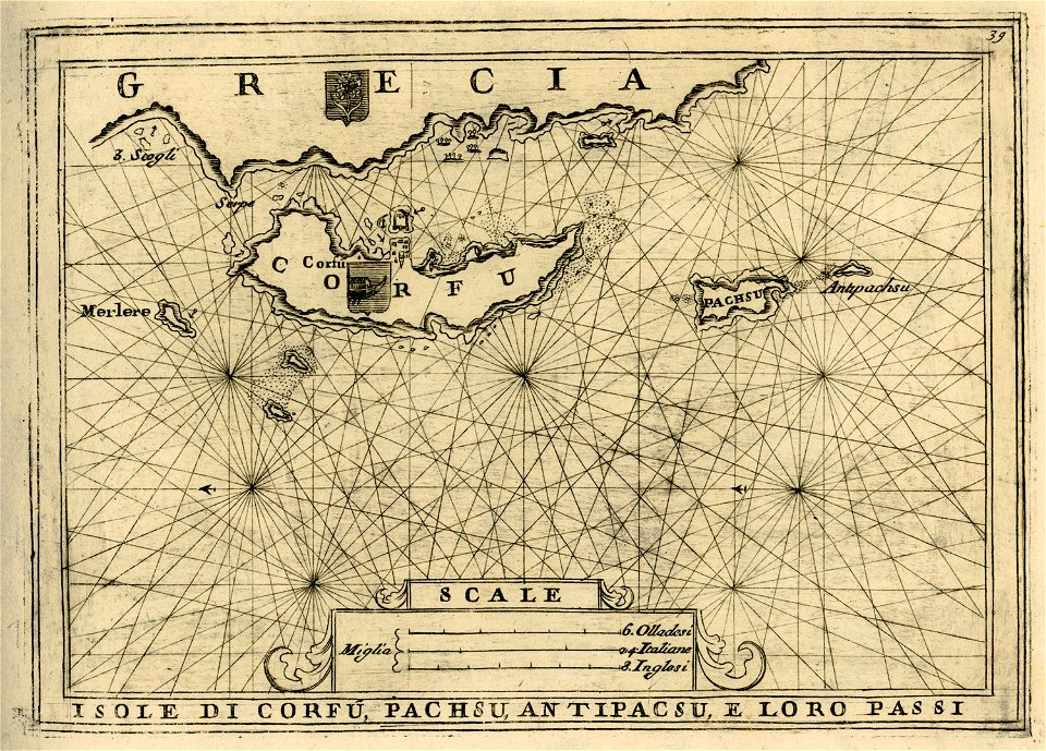
geographical illustrations by coronelli
old maps of corfu
geographical illustrations by coronelli
old maps of corfu
description des principales villes (1690)
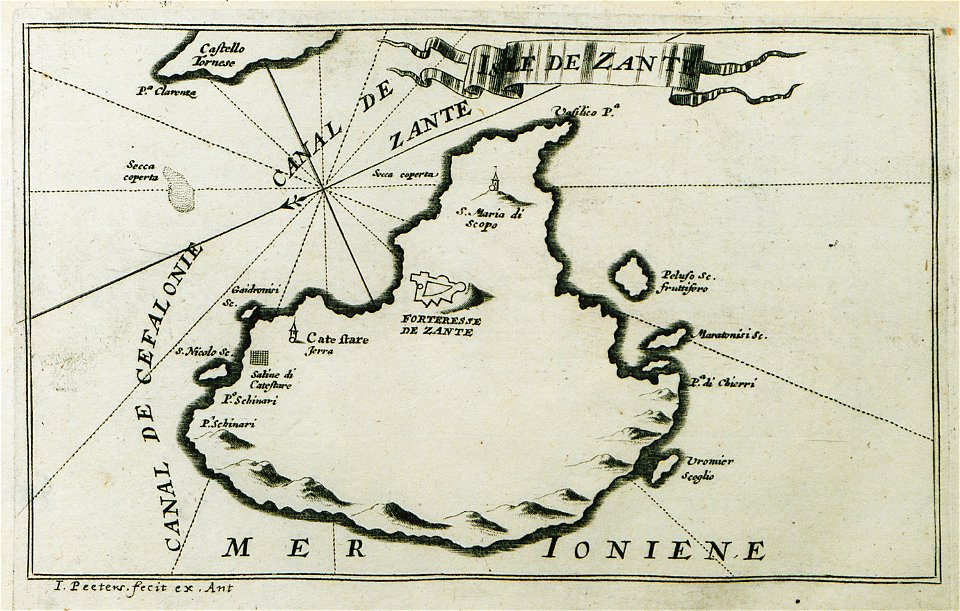
maps of zakynthos
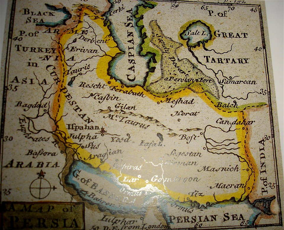
maps of the history of iran
greater iran
provided by landsbókasafn íslands
old maps of iceland
description des principales villes (1690)
maps of kefalonia
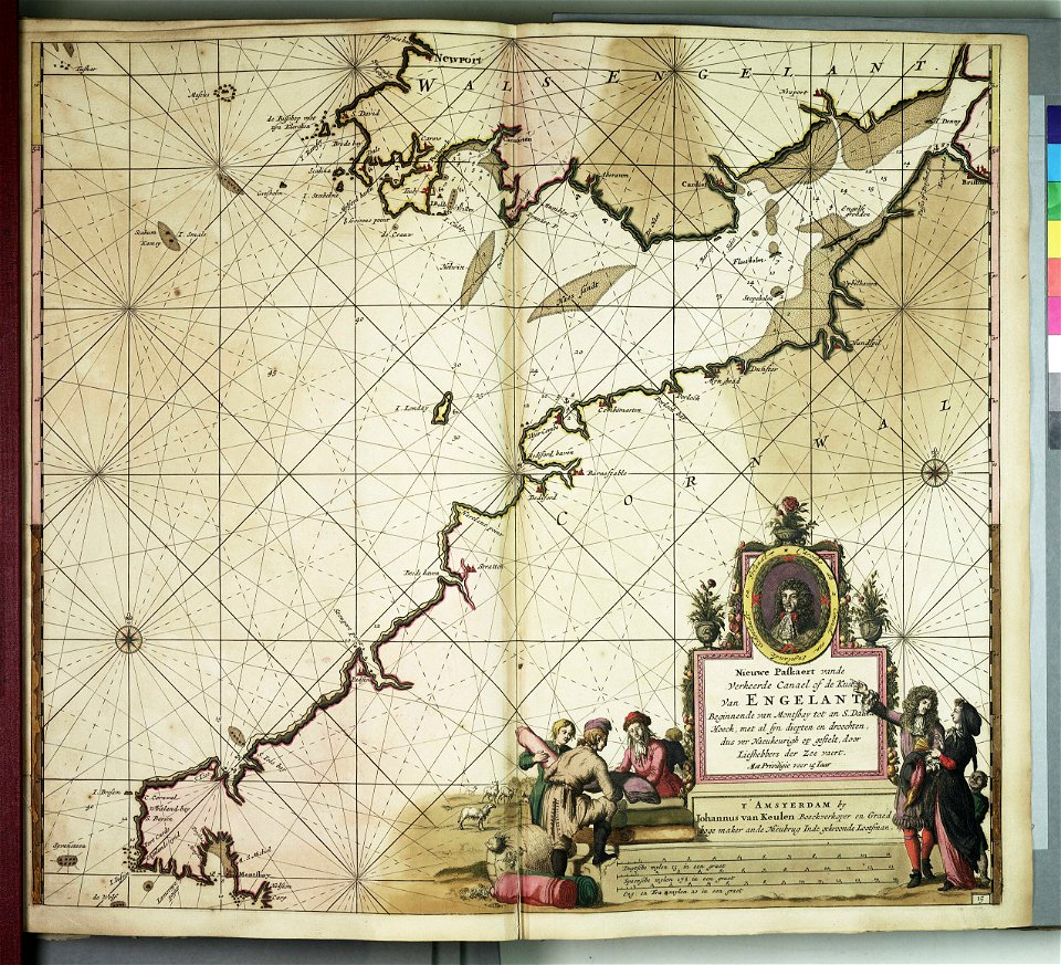
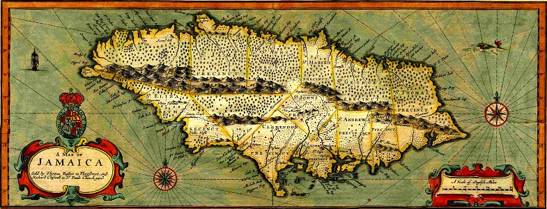
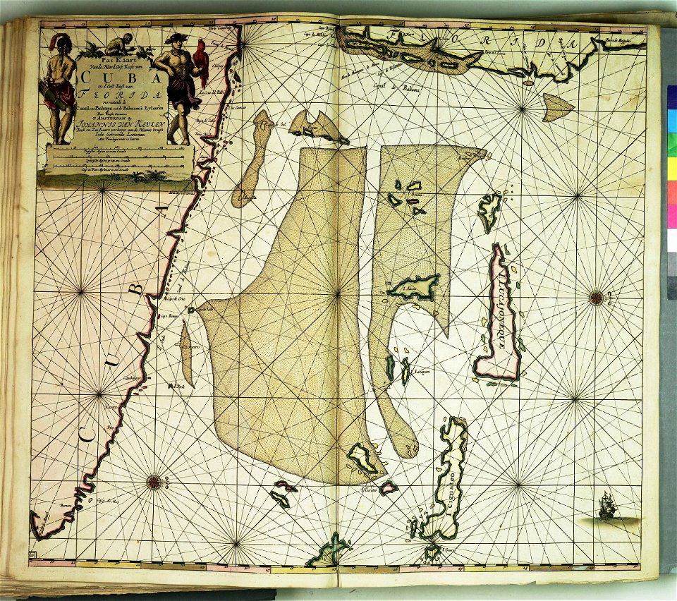
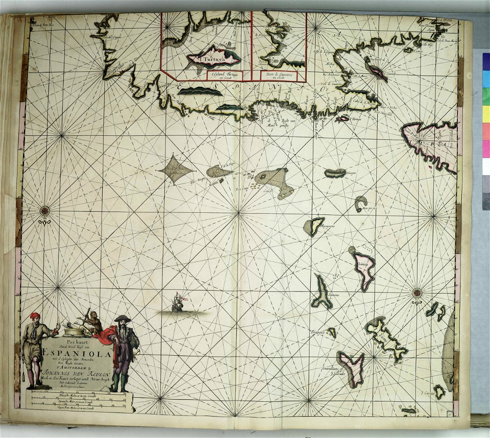
17th-century maps of jamaica
cartography of jamaica
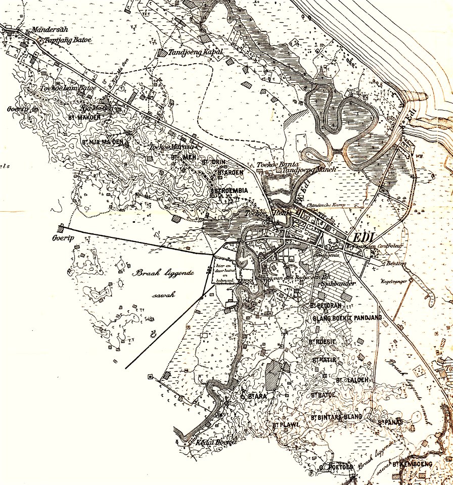
edi expedition
aceh war
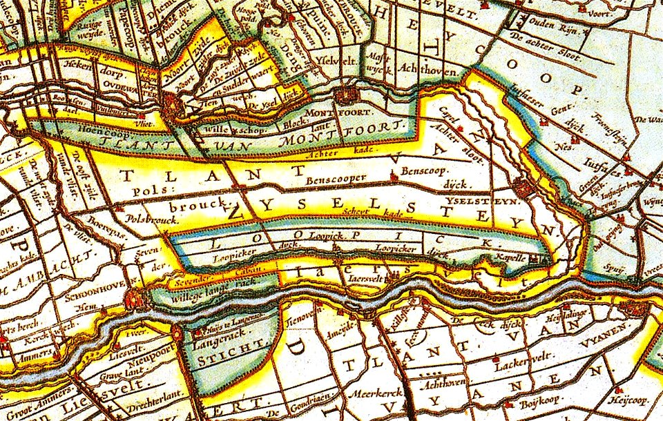
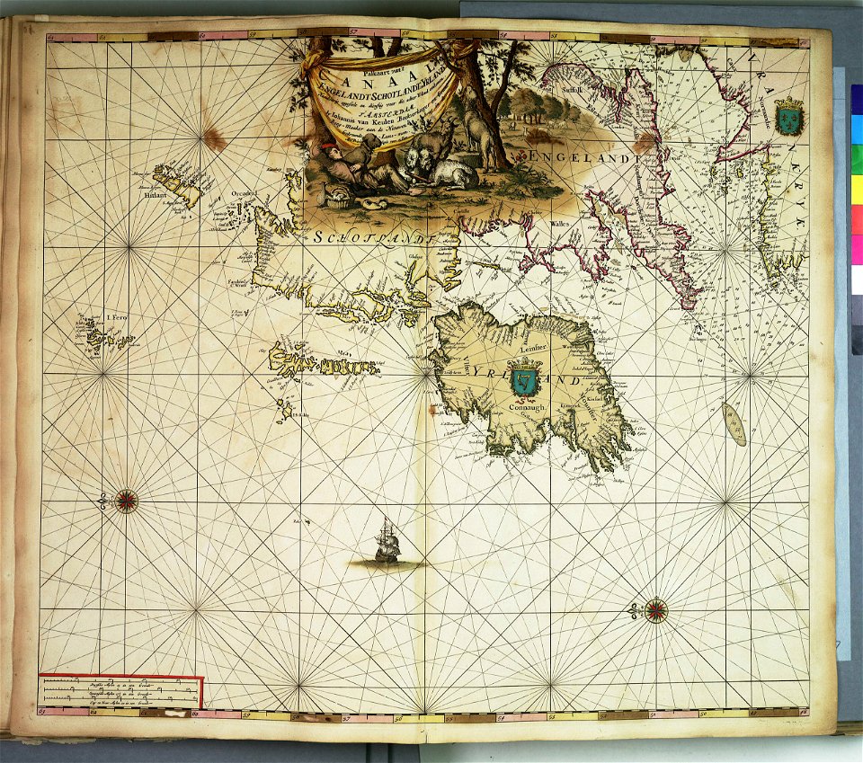
netherlands in the 1660s
old maps of utrecht
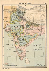
1848 in india
india
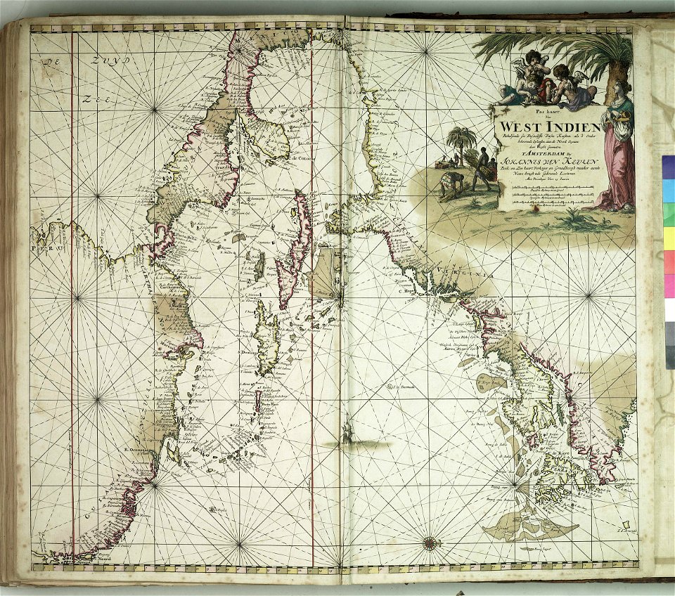
charts and maps of the royal museums greenwich
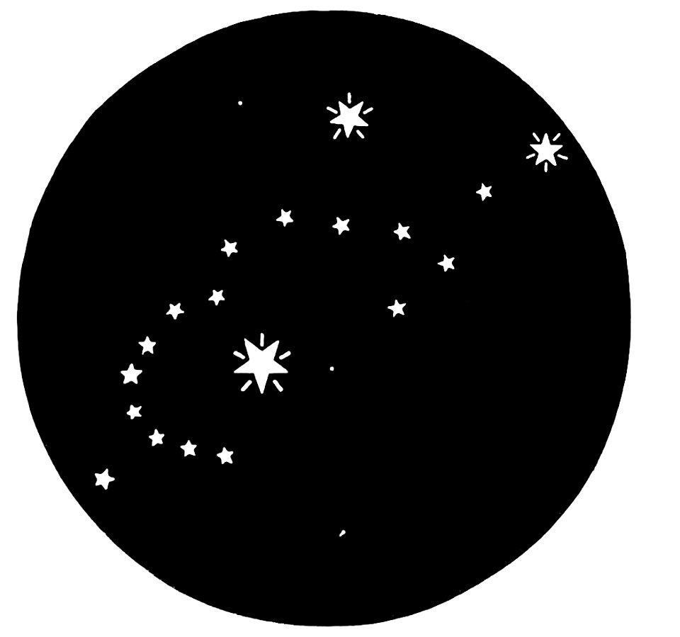
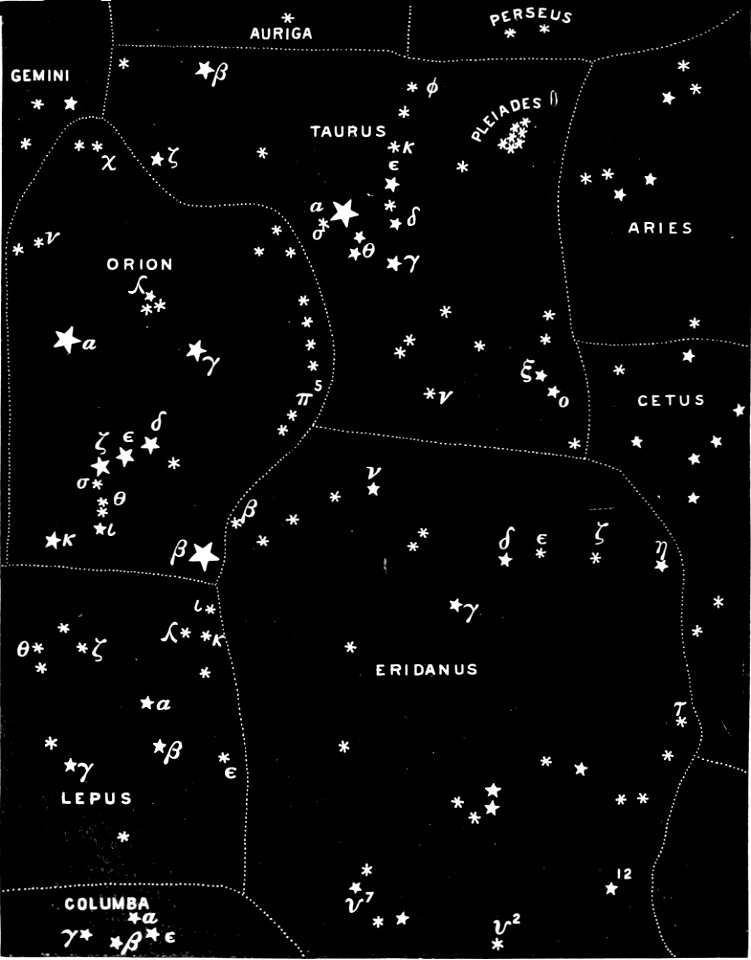
popular science monthly illustrations/volume 32
astronomical maps
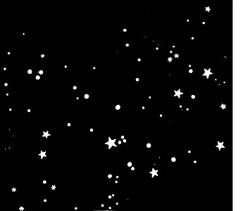
popular science monthly illustrations/volume 32
astronomical maps
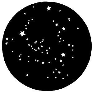
popular science monthly illustrations/volume 32
astronomical maps
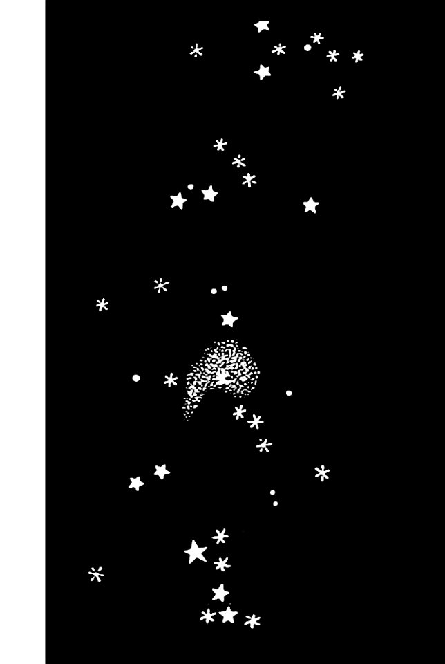
popular science monthly illustrations/volume 31
astronomical maps
popular science monthly illustrations/volume 32
astronomical maps
popular science monthly illustrations/volume 31
astronomical maps
popular science monthly illustrations/volume 32
astronomical maps
popular science monthly illustrations/volume 31
astronomical maps
popular science monthly illustrations/volume 32
astronomical maps
popular science monthly illustrations/volume 32
astronomical maps
popular science monthly illustrations/volume 32
astronomical maps
popular science monthly illustrations/volume 32
astronomical maps
popular science monthly illustrations/volume 31
astronomical maps
popular science monthly illustrations/volume 31
astronomical maps
popular science monthly illustrations/volume 31
astronomical maps
popular science monthly illustrations/volume 32
astronomical maps
popular science monthly illustrations/volume 32
astronomical maps
popular science monthly illustrations/volume 32
astronomical maps
popular science monthly illustrations/volume 32
astronomical maps
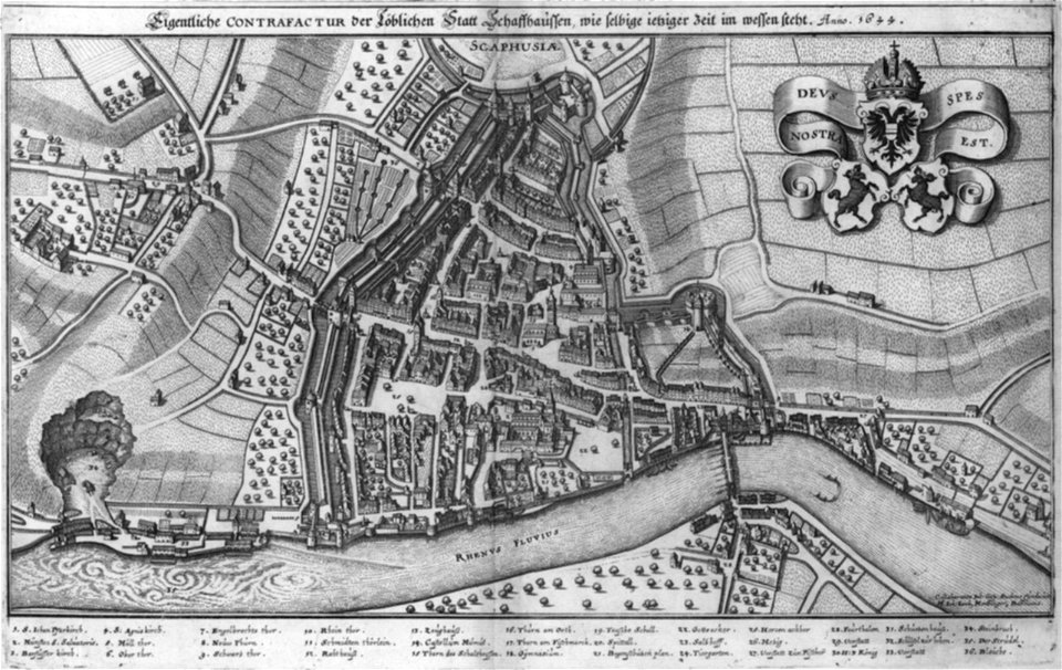
rhaetiae et valesiae
merian helvetiae
description des principales villes (1690)
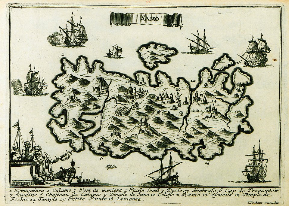
maps of samos
nicolas de fer
roussillon
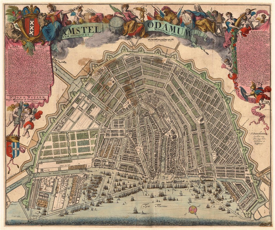
maps in the stadsarchief amsterdam
romeyn de hooghe
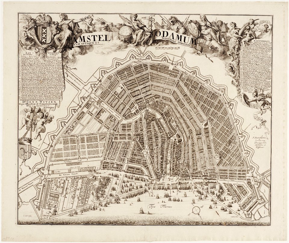
maps in the stadsarchief amsterdam
romeyn de hooghe
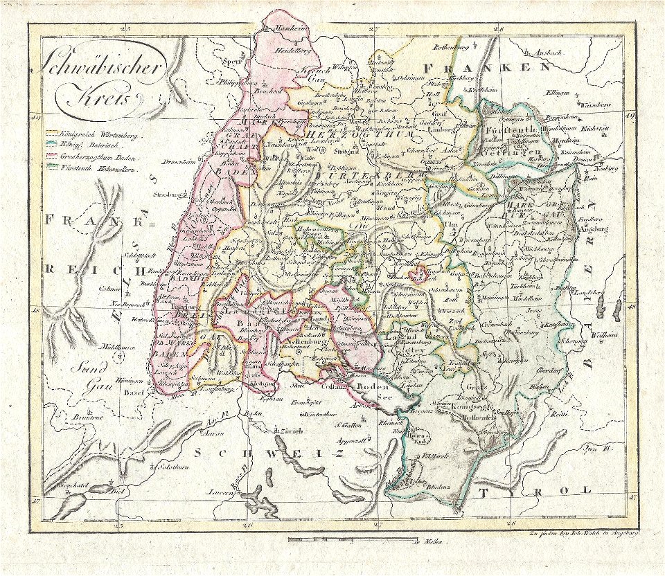
johann walch (engraver)
1805 engravings
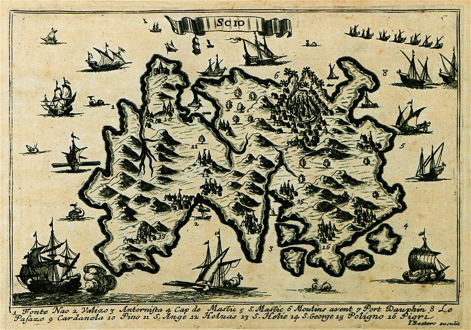
description des principales villes (1690)
maps of chios
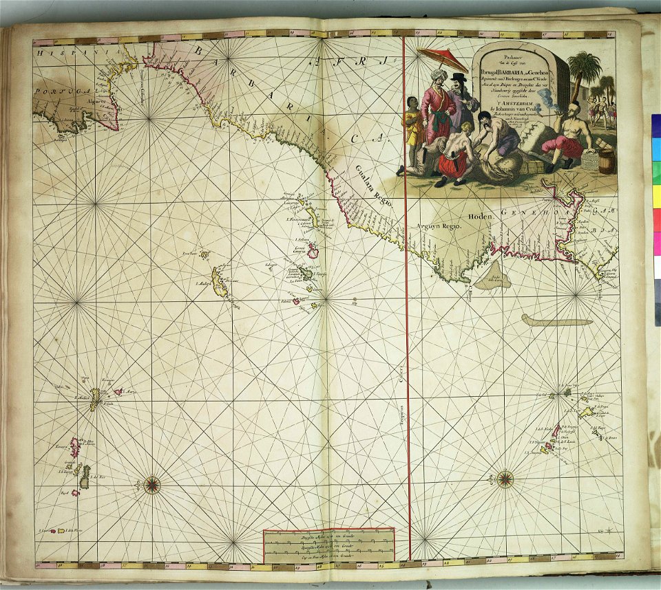
edi expedition
aceh war
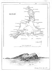
old maps of the outer hebrides
north rona
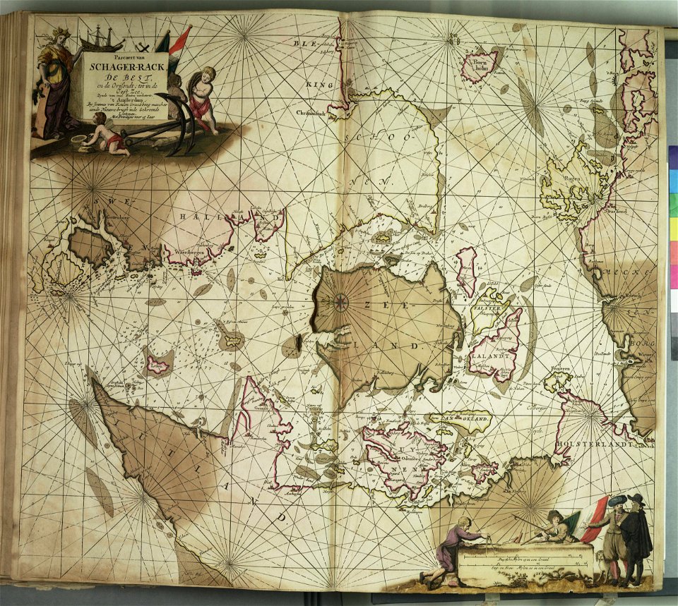
maps in the stadsarchief amsterdam
romeyn de hooghe
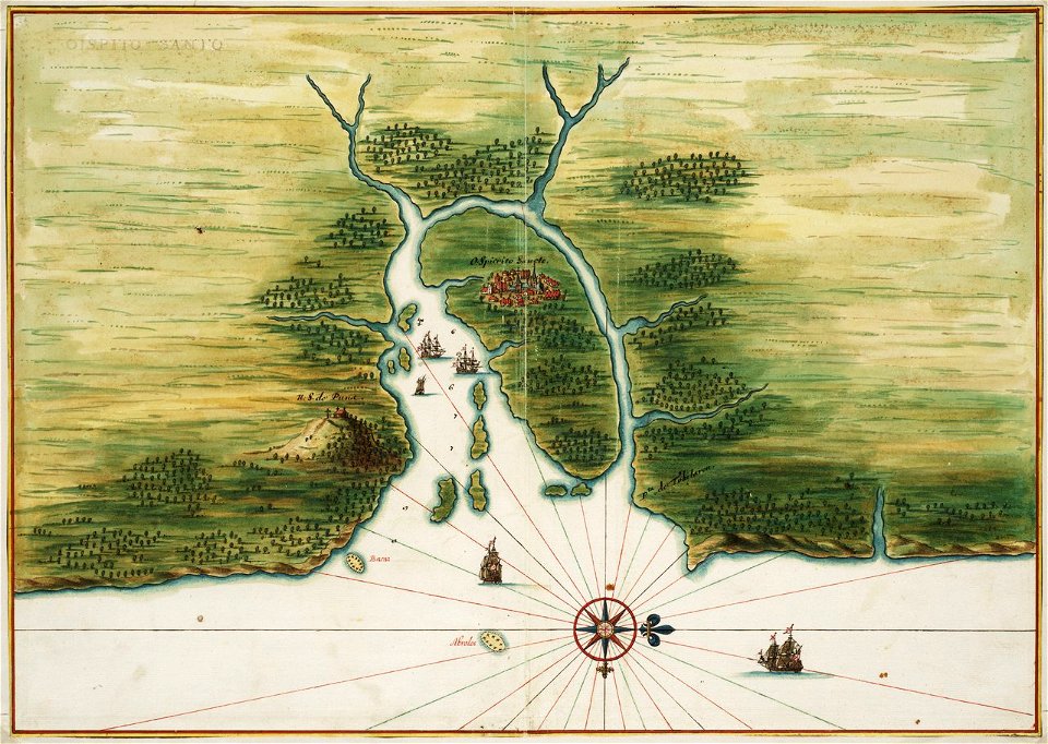
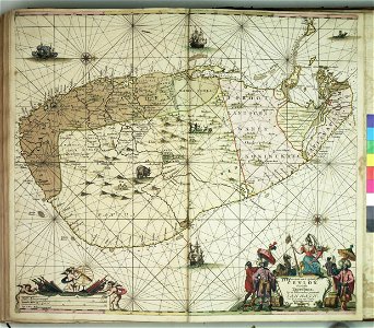
old maps of dutch brazil
1665
old maps of dutch brazil
itamaracá
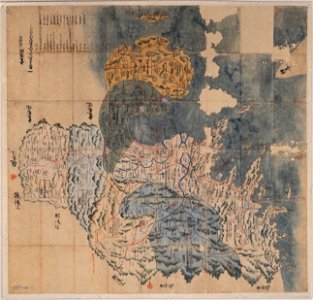
maps of osaka prefecture
settsu province
bungo province
keichō kuniezu
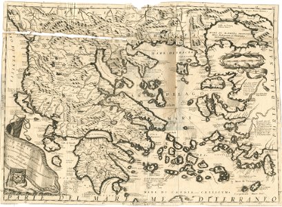
geographical illustrations by coronelli
old maps of greece
liber insularum archipelagi (royal museums greenwich)
1420s maps
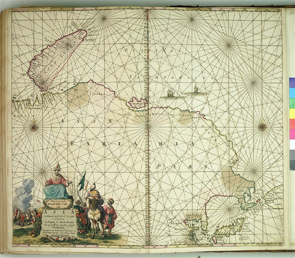
charts and maps of the royal museums greenwich
section schwarzenberg (1843)
oberreit
section schwarzenberg (1843)
oberreit
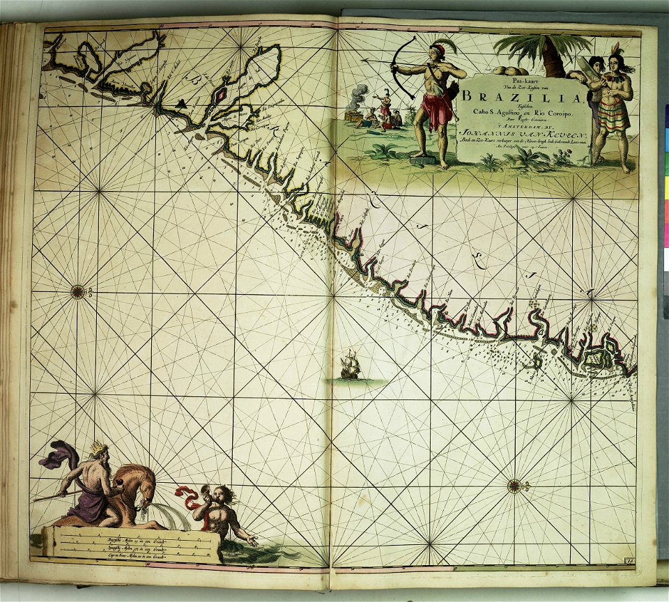
charts and maps of the royal museums greenwich
charts and maps of the royal museums greenwich
charts and maps of the royal museums greenwich
charts and maps of the royal museums greenwich
charts and maps of the royal museums greenwich
charts and maps of the royal museums greenwich
charts and maps of the royal museums greenwich
charts and maps of the royal museums greenwich
charts and maps of the royal museums greenwich
charts and maps of the royal museums greenwich
charts and maps of the royal museums greenwich
charts and maps of the royal museums greenwich
charts and maps of the royal museums greenwich
charts and maps of the royal museums greenwich
charts and maps of the royal museums greenwich
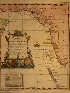
18th-century maps of india
thomas salmon (historian)
18th-century maps of india
thomas salmon (historian)
18th-century maps of india
thomas salmon (historian)
18th-century maps of india
thomas salmon (historian)
18th-century maps of india
thomas salmon (historian)
maps in the stadsarchief amsterdam
jan caspar philips
provided by landsbókasafn íslands
old maps of iceland
provided by landsbókasafn íslands
old maps of iceland
provided by landsbókasafn íslands
old maps of iceland
19th-century maps of stockholm
lidingö kommun
charts and maps of the royal museums greenwich
charts and maps of the royal museums greenwich
6501 - 6600 of 33,112
Next page
/ 332